
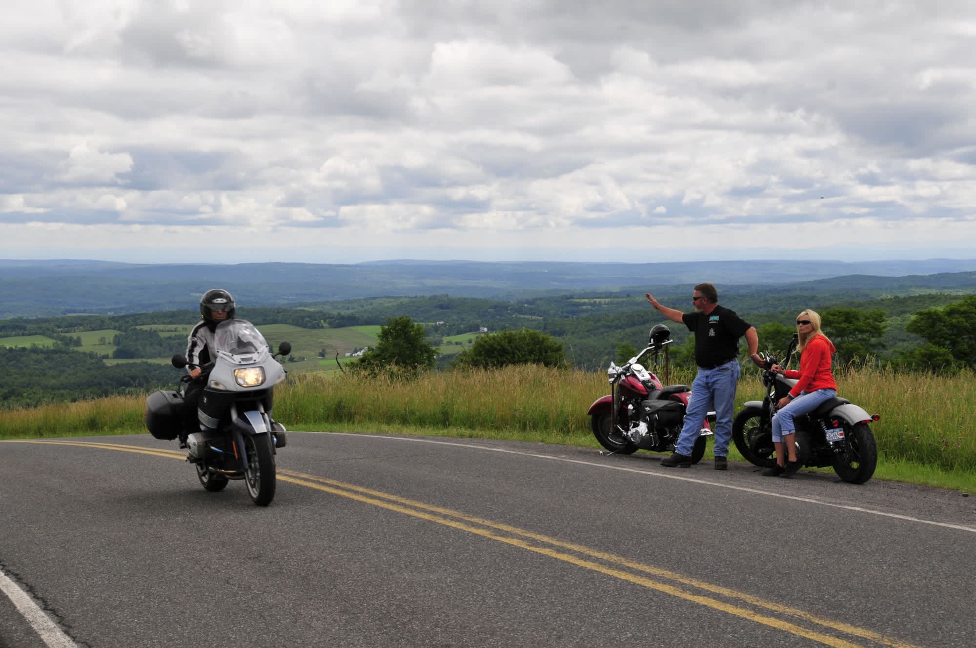
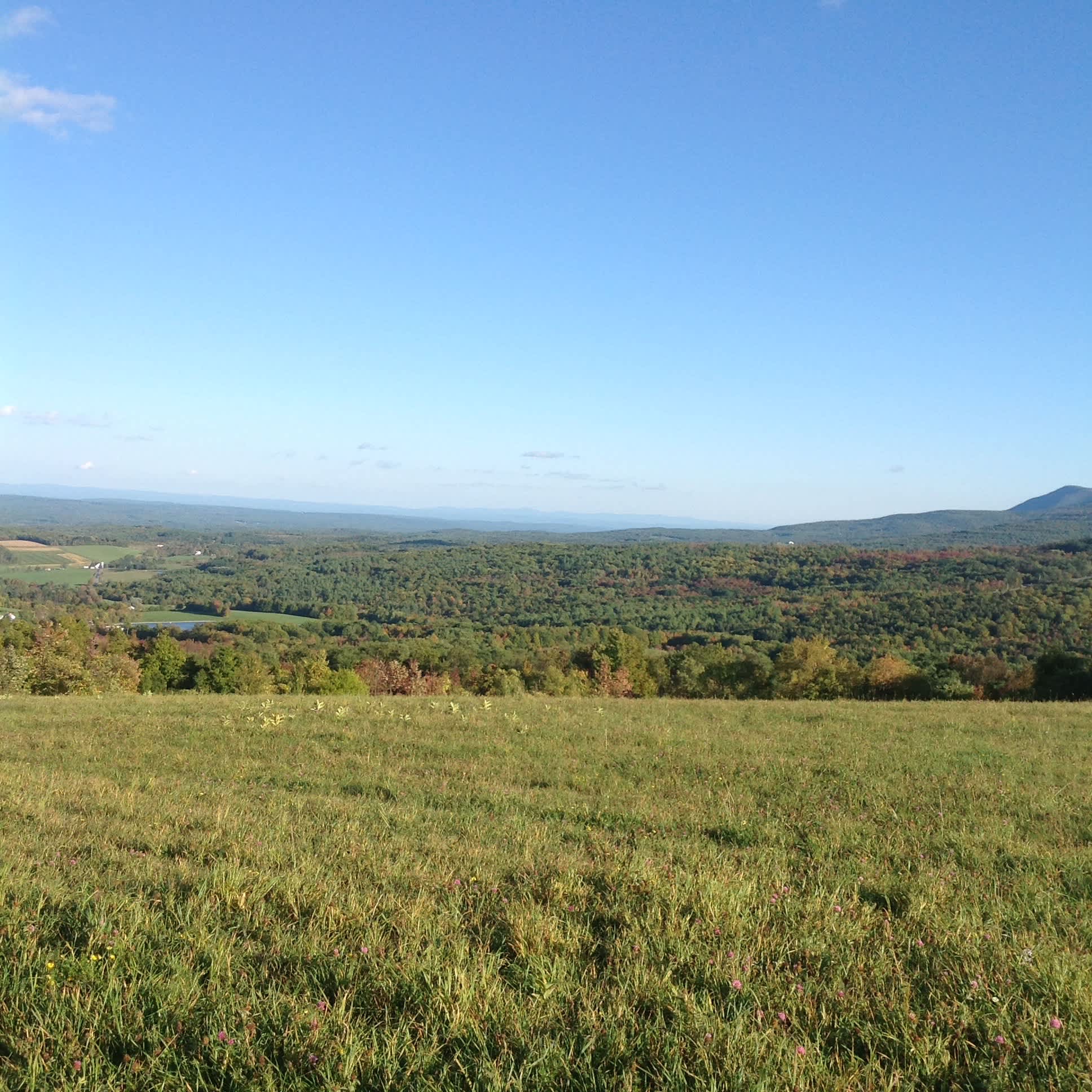
Durham Valley Scenic Byway
The Durham Valley Scenic Byway provides a 21-mile corridor that accesses the northernmost escarpment of the Catskill Mountains stretching from the summit of nearby Mount Pisgah along Ginseng Ridge past Windham High Peak. Majestic views stretch across the upper elevation pasture lands and hayfields to the forested areas along the Durham Valley’s streams and creeks. A spectacular “five state view” that extends over the Hudson River Valley to the Berkshires, Vermont, Connecticut, and New Hampshire and north to the Adirondacks is possible from portions of the Scenic Byway.
Historic structures, farms and other features are visible throughout the Durham Valley, helping to tell the story of its settlement, past industrial activity, and agriculture. Many of the homes and farms on the Byway are listed on the Greene County Historical Register and are also eligible for listing on the National Register of Historical Places.
The agricultural heritage of the Durham Valley dates back to the original settlers, and its landscape of farmland and meadows still support dairy cows, sheep, horses, and other animals. Large expanses of the Valley are also under cultivation for corn, vegetables, and hay. In the fall, the area boasts numerous farm stands offering local produce, providing another distinctive characteristic of a byway.
- County Route 10 & Cunningham Road
- County Route 20 & County Route 20B
- State Route 23 & Cornwallville
- State Route 145 & County Route 20B
- State Route 145 & Stone Bridge Road
- State Route 145 & Susquahanna Road
- Stone Bridget Road & County Route 20
- County Route 10 & County Route 20
- Cornwallville Road & Country Route 20
Join in the fun at the annual Catskill Mountain Thunder Festival, experience colorful fall foliage at the Colors in the Catskills festival during Oktoberfest, or experience the Diamondback Motocross Series throughout the summer and fall.
Explore more: [Motorcycle Touring Routes] [Scenic Drives]

Good to Know
Price
$
- Activity Level
- Active
- Duration
- 1-3 hours
Loading map...